Emerging risks | Growth Opportunities | APAC Insurance

Wednesday, July 22, 2026

Insight by…

Insight by type

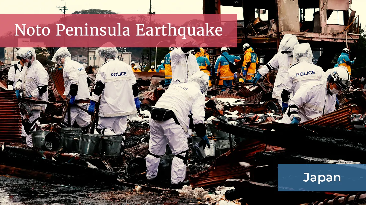
Aerial and satellite images employed to fast-track Noto Peninsula quake claims

Cross-industry 'joint survey' teams will use imagery to identify 'total' and 'partial' loss areas to enable faster claims processing.
Aerial and satellite images employed to fast-track noto peninsula quake claims – (re)in asia
January 26, 2024

 • 

1 min read
The Inaugural Recognising excellence in Asia's insurance industry Find out more Entries close
28 August
Already a member? Sign in →
MEMBERS ONLY
Continue reading with a free account.
• Free daily briefing in your inbox each morning
• 14 day trial to (Re)in Asia's premium intelligence
• No credit card required
The Inaugural Recognising excellence in Asia's insurance industry Find out more Entries close
28 August